 31.6295° N, 7.9811° W
Marrakech, the Atlas & Erg Chebbi
Morocco
Atlas to Sahara
10 days · from £2,260
- Coordinates
- 31.6295° N, 7.9811° W
- Length
- 10 days
- Group size
- Max 12
- Best months
- Mar – May · Sep – Nov
- Currency
- MAD
- Languages
- Arabic, Amazigh, French
The place
Atlas to Sahara
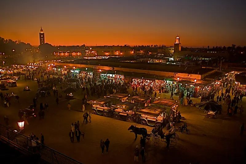
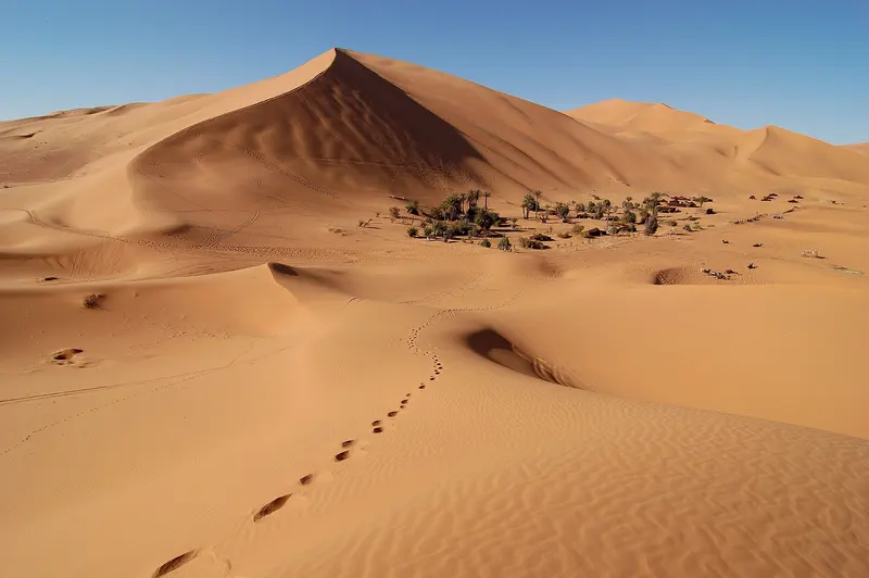
Marrakech's medina is the easy part; the trip's real subject is the route east, over the Tizi n'Tichka pass into the Atlas foothills, then down through the Dades Gorge to the dunes of Erg Chebbi at Merzouga. Days combine walking sections through Berber villages with long, scenic drives, ending with two nights camped at the edge of the erg. It suits travellers who want the desert as a destination, not a day trip.
How it runs
A private driver and local guide run the full route, with a mule-supported walking day in the Atlas and a camel transfer into the dunes for the desert camp. Riads and small kasbah hotels are used throughout, with one two-night desert camp on real beds rather than the roadside tourist camps.
What you do
- —Walking day through Berber villages in the High Atlas
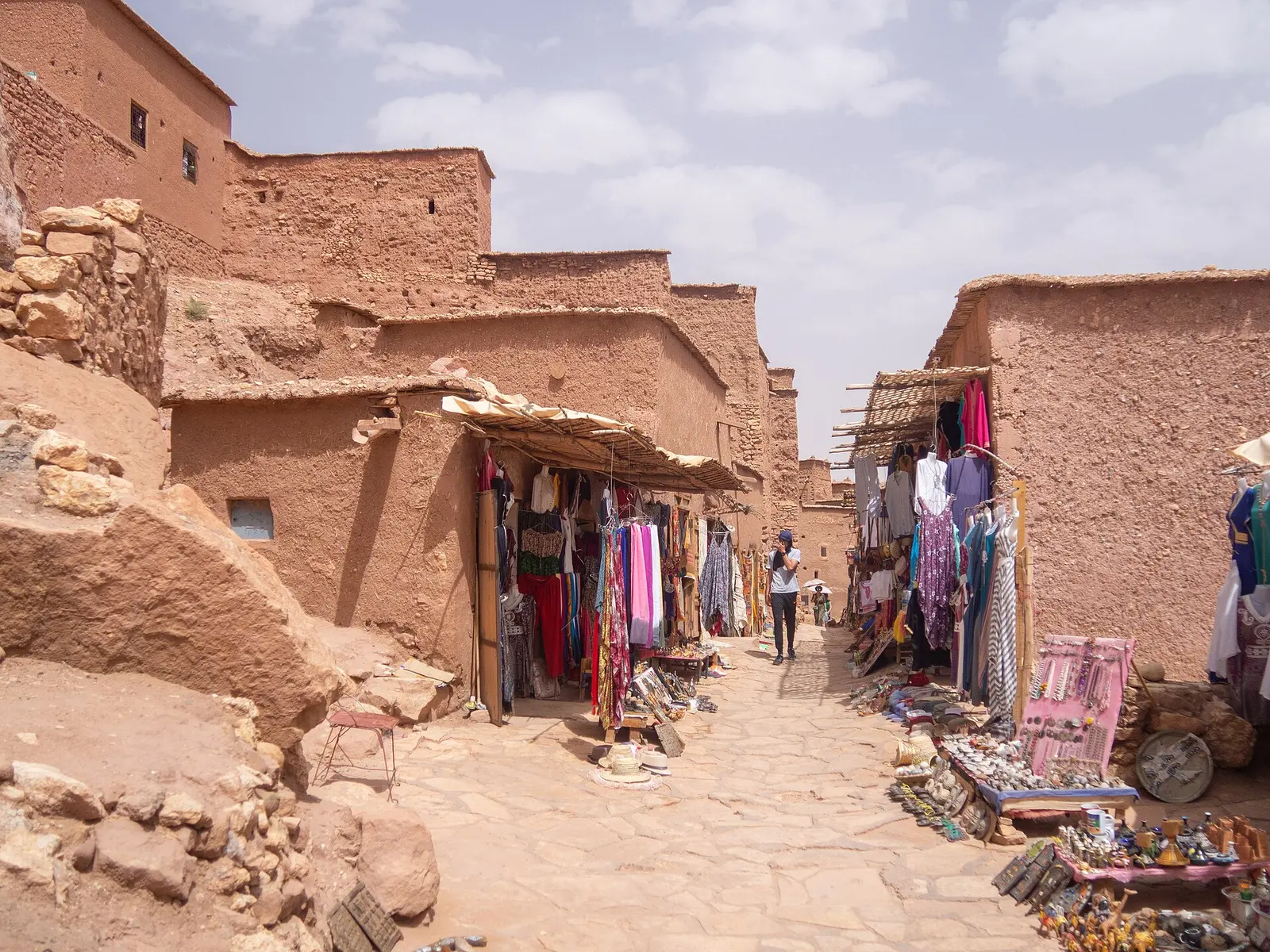
- —Overnight kasbah stay in the Dades Gorge
- —Camel trek into the dunes at sunset
- —Two nights at a permanent camp on the edge of Erg Chebbi
- —Souks and food walk through the Marrakech medina
Marrakech, the Atlas & Erg Chebbi